This is my guide for the best Ontario lookouts! I’m sure I’m missing a lot of great views around the province and I will update this list as my top 10 evolves and changes. So be sure to check back every once in a while to see who’s made it on to the list!
Let’s be honest, Ontario might not have the mountains of Alberta or BC, or the coastal views of Nova-Scotia or Newfoundland, but don’t overlook this central province of Canada too quickly. Ontario has so many amazing nature destinations, and I would even go so far as to say that some of them rival other parts of the country.
Over the past few years, I’ve had the chance to explore the province quite extensively and I’ve complied my favorite lookouts in this list. Now it’s important to note that some part of Ontario have a greater elevation than others – for example south of London is fairly flat -, however, if you venture up not, the number of amazing lookouts goes up.
In this list, I’ve tried to spread the love across the province! I surely have missed many but I’m always discovering new spots that blow my mind by there beauty. I’ll be shore to add them to this list!
Read More // For more Ontario inspiration check out my list of 11 nature roadtrips to do from Toronto!
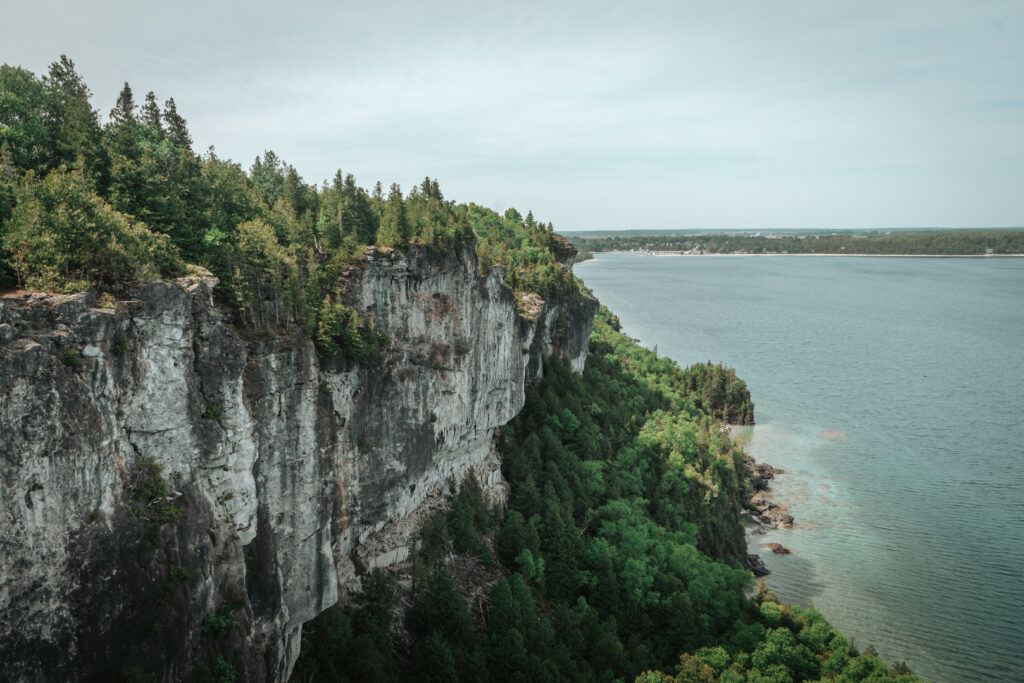
TOP 11 ONTARIO LOOKOUTS
Top of the Giant Lookout
THE DETAILS
Where | Sleeping Giant Provincial Park. Find it here on google map.
Price | 15.50$ per car for a day park permit.
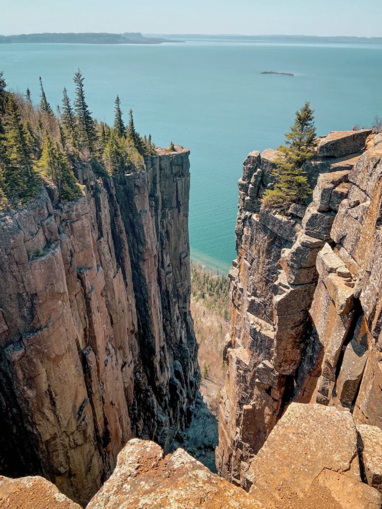
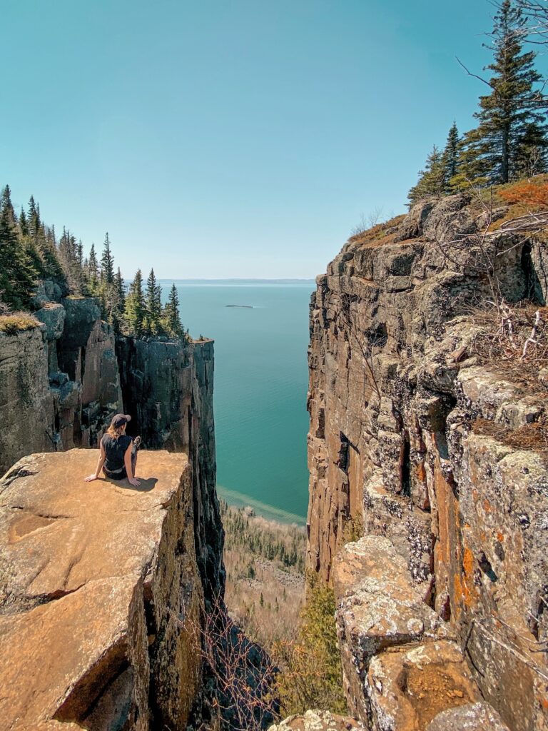
It will come at no surprise that the Top of the Giant at Sleeping Giant Provincial Park near Thunder Bay comes at the top of my list. If you have to visit one Ontario lookout during your lifetime, this is the one. Not only is it the tallest cliff in Ontario at 563 meters (1,847 feet) high, but it’s also one of the most stunning. It offers some absolutely breathtaking views on Lake Superior.
However, reaching this view requires effort… a lot of it! The hike from the parking lot is about 22 kilometers. It’s definitely the most demanding hike I’ve done in Ontario so far. However, the view from the top is absolutely worth the sweat, wouldn’t you agree? And if you are curious as to where the park got it’s name, local Ojibway legend explains that the large volcanic rock formation known as Sleeping Giant, or ‘Nanajibou’—which translates to ‘The Spirit of Deep Sea Water’—is said to have turned to stone as a consequence of the nearby silver mine’s location being revealed
The Crack
THE DETAILS
Where | Killarney Provincial Park. Find it here on google map.
Price | 15.50$ per car for a day park permit.
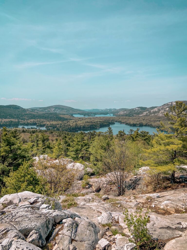
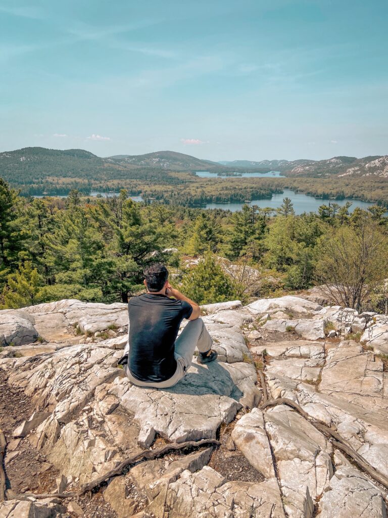
The first time I saw The Crack at Killarney Provincial Park near Sudbury, I could hardly believe this view was in Ontario : it looked so different than all of the other lookouts on this list.
To reach this view, you’ll have to hike the 6km trails to the viewpoint overlooking the La Cloche Mountains. Although the first half of the trail is fairly flat, don’t be fooled because things start to pick up around the 3-kilometer mark. From there, you’ll have to show some climbing skills – some section are quite steep (this trail is definitely not recommended for kids or dogs). Once you’ve climbed over the boulders, you’ll finish the hike by climbing white granite all the way to the top. To say that you will be blown away is an understatement!
Cup and Saucer
THE DETAILS
Where | Manitoulin Island. Find it here on google map.
Price | Free
This is one of the lookout I’ve not had the chance to explore yet. However, it is so high on my list that I still wanted to included it here.
The Cup and Saucer Trail leads you to the highest point on Manitoulin Island – 70 meters high to be precise – , the largest freshwater island in the world. From the top, you’ll get to enjoy stunning views over the Niagara Escarpement. The hike to the lookout is 2km (4km round-trip) and has some steep sections along the way. For those of you who like a little history with your hiking, you might be interested to know that trail’s traditional name is ‘Michigiwadinong,’ an Ojibway term meaning ‘bluff in the shape of a spearhead.’ According to the legend, Michigiwadinong is where Nanabush, a cultural hero, dropped his spearpoints while escaping from Iroquois warriors.
Barron Canyon
THE DETAILS
Where | Algonquin Provincial Park (Northeast section). Find it here on google map.
Price | 15.50$ per car for a day park permit.
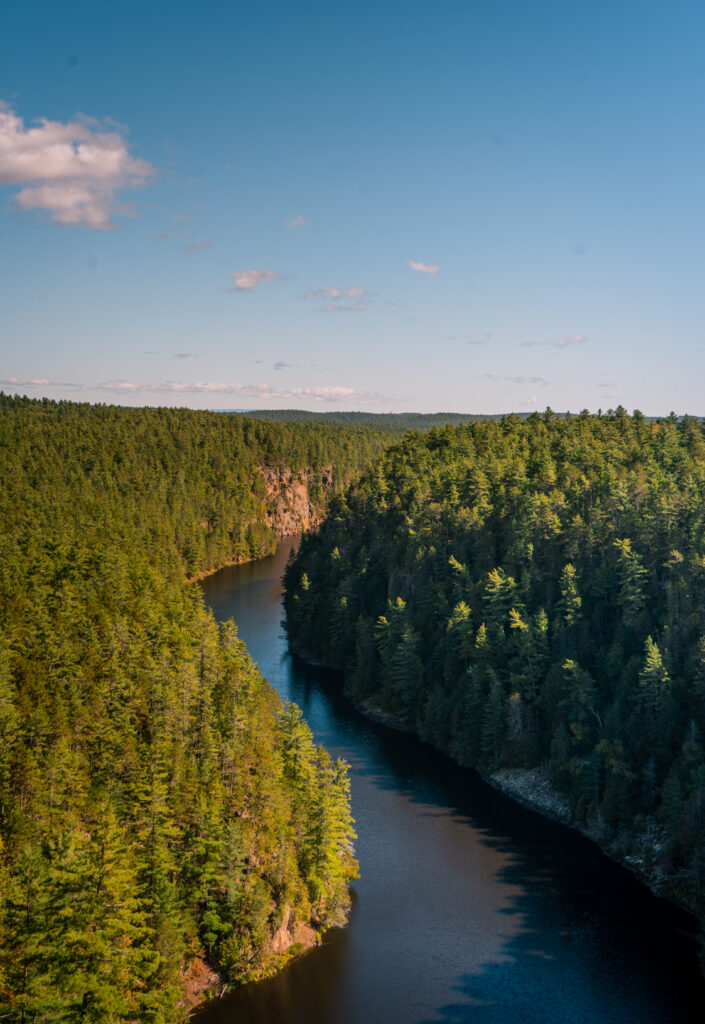
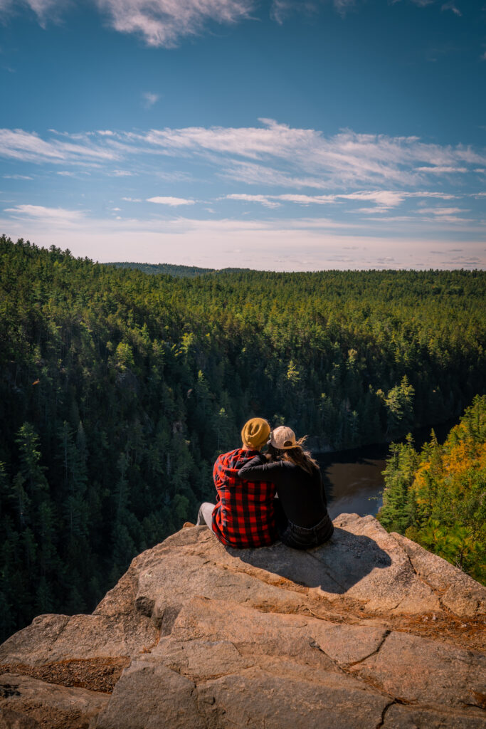
Barron Canyon in Algonquin Provincial Park near Pembroke, is maybe the most accessible of all the lookout on this list. The Barron Canyon Trail is located in the northeast section of Algonquin Park, which, it’s important to note, is quite expansive. So if you are coming from another section of the park, expect a long drive to get here (for example it’s a 2.5h drive from Mew Lake). I myself made a specific trip to Pembroke to see this trail!
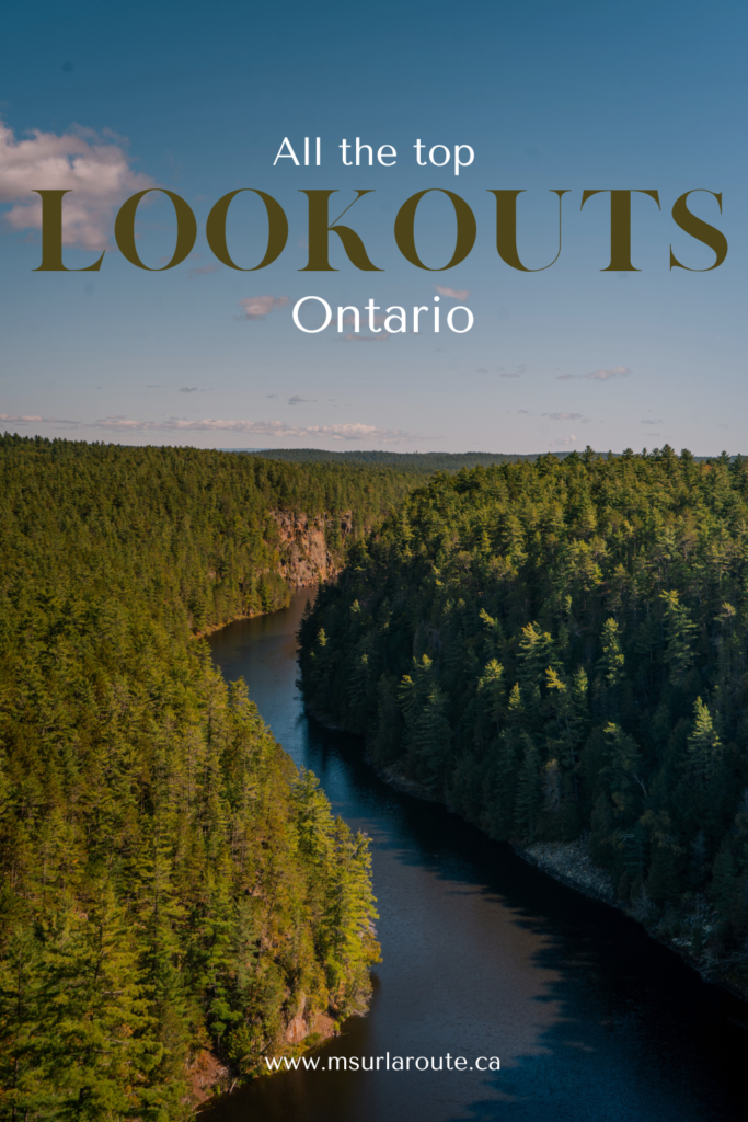
The trail itself is relatively short at 1.5 kilometers. You will need to climb around 400 meters in the first part of the trail, but the rest is fairly easy. And the view is incredible. From the lookout, you can see the Barron River winding through a magnificent canyon that seems to stretch endlessly into the distance. I’ve seen many people paddle the canyon so make sure you plan a longer stay than me to try that as well!
Eagle’s Nest
THE DETAILS
Where | Calabogie. Find it here on google map.
Price | The trail is free but the parking fees are 5,35$
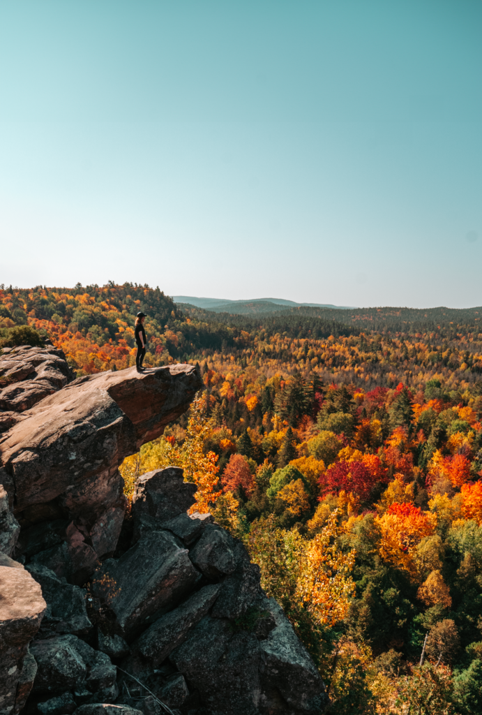
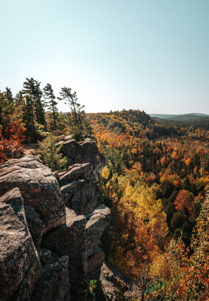
Eagle’s Next Lookout is located in the small town of Calabogie, about 1h20 from Ottawa. It’s definitely one of the busiest lookouts on this list so make sure you either go during the week or arrive early (the parking often gets full in the afternoon).
Read More // The Ultimate Fall Weekend in Calabogie
There are many different way to get to the lookout (8 to be precise), but the easiest is straight across the parking lot. That trail is a 2km trail straight to the lookout – so expect some heavy climbing at the beginning. On the way back, you can retrace your steps or choose one of the other many trails if you want to keep hiking. You might also be interested to know that he site is considered sacred by the Anishinaabe and got its name because it used to be a nesting area for bald eagles.
Ouimet Canyon
THE DETAILS
Where | Ouimet Canyon Provincial Park. Find it here on google map.
Price | 15.50$ per car for a day park permit.
I’m still kicking my butt for missing out on Ouimet Canyon Provincial Park during my road trip to Thunder Bay. Located along highway 17 about an hour from Thunder Bay, Ouimet Canyon is definitely a sight to see.
Ouimet Canyon is a stunning natural formation, 100 meters deep and 150 meters wide, carved by glaciers and erosion. Gazing into the depths of the canyon is a surreal experience—it’s difficult to grasp just how profound it is. At the canyon’s floor, you’ll find a unique mini-ecosystem where arctic plants manage to thrive. Much like for Barron Canyon, the trail to ket to the lookout is fairly short, just over a kilometer long and leads to two amazing viewpoints overlooking the canyon.
Old Baldy
THE DETAILS
Where | Old Baldy Conservation Area. Find it here on google map.
Price | The parking fee is 10$.
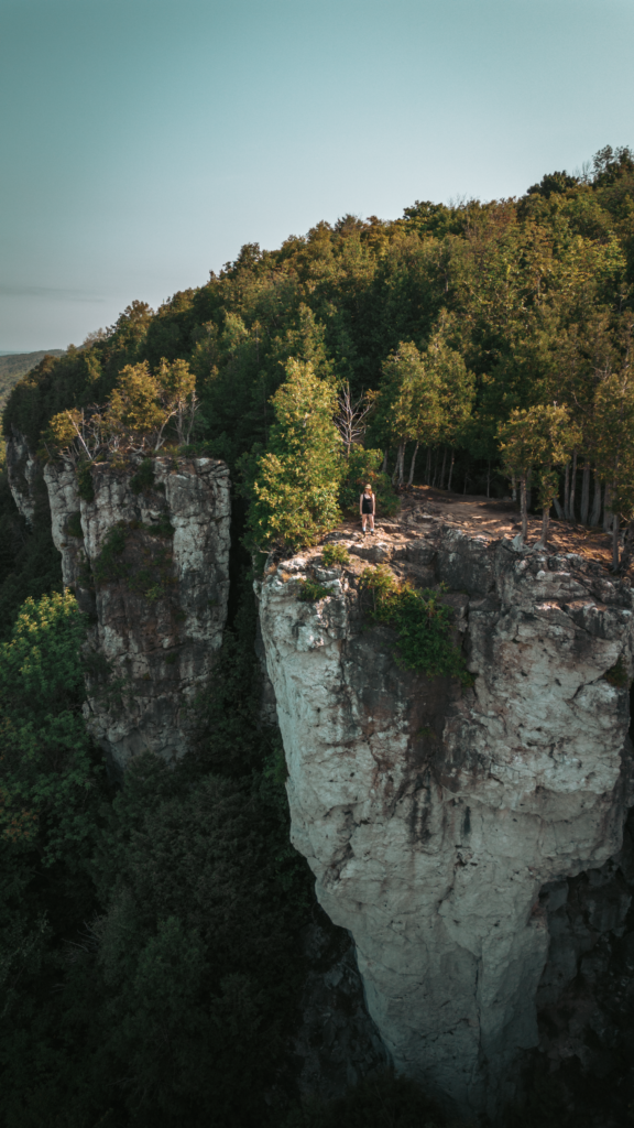
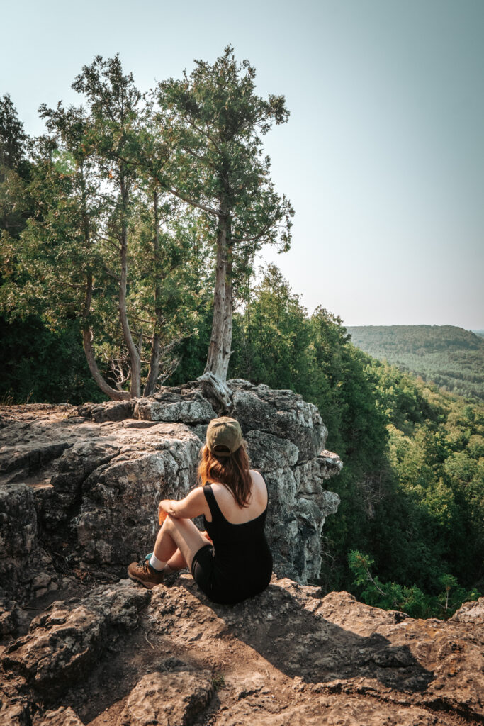
Located just 5 minutes the small town of Kimberley in the Beaver Valley, Old Baldy Conservation Area is probably the lesser know of all the lookouts on this list. . But trust me is absolutely stunning!
Read More // Ultimate Weekend Itinerary in Beaver Valley
Rock Dunder
THE DETAILS
Where | Morton. Find it here on google map.
Price | 6$ per person
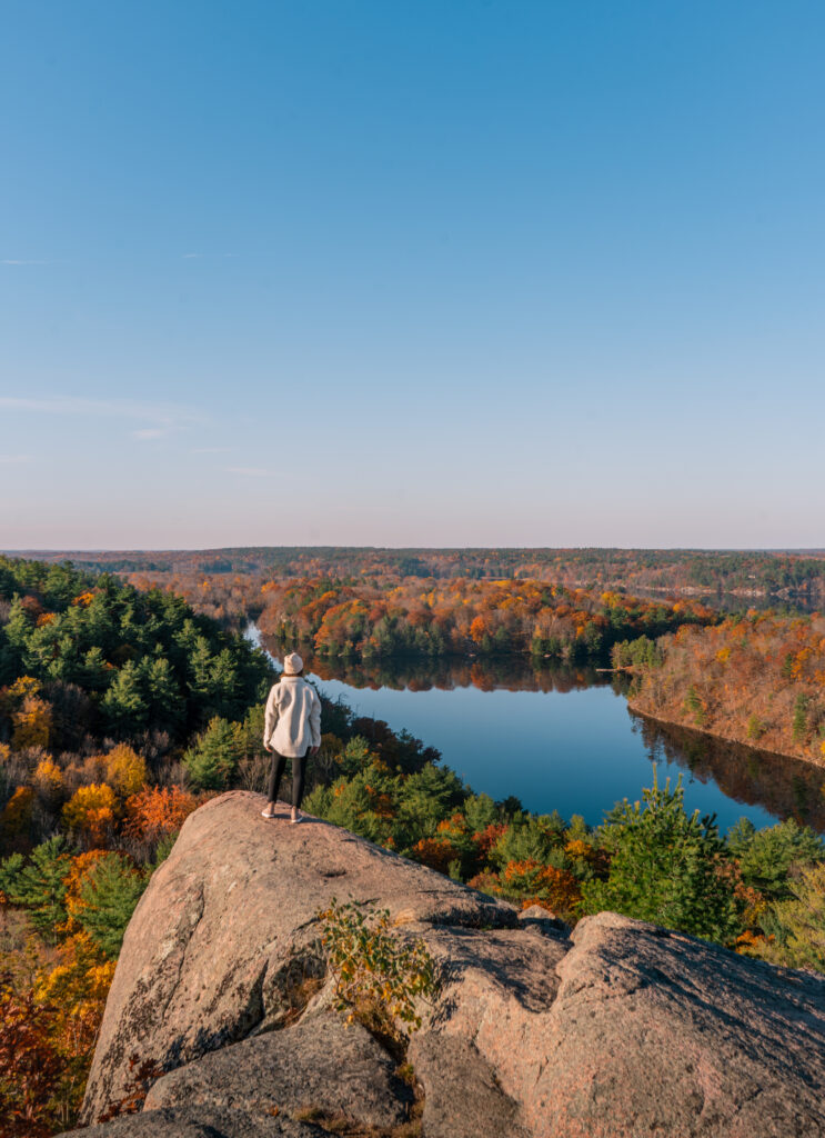
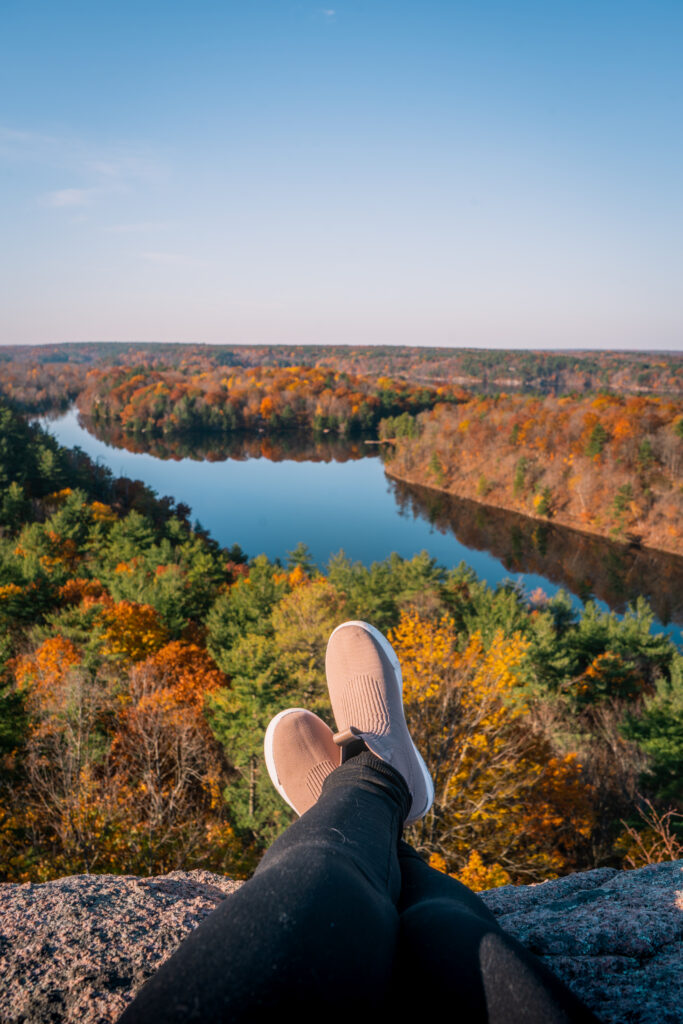
Rock Dunder is in my neck of the woods, only 35 minutes from Kingston on highway 15 and it’s definitely one of the best Ontario has to offer. Once again, I suggest you get there early in the morning because the parking gets quite full after 10am on the weekends.
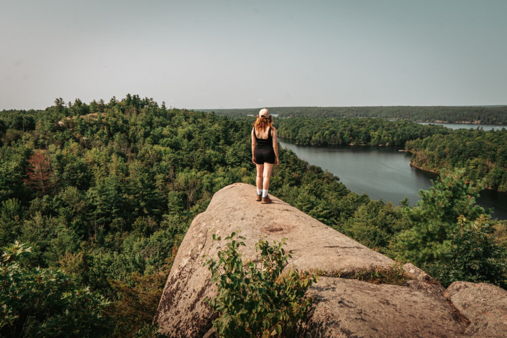
Rock Dunder is part of the UNESCO Thousand Islands Frontenac Arch Biosphere Reserve. Rising 275 feet above Morton Bay, it offers breathtaking views of the surrounding lakes and woodlands – this is definitely the highest point in this area of Ontario. There are 3 different trails in the park, but to see the lookout you have to follow the Summit Loop, a 3,9km trail. It’s important to note that Rock Dunder is open from May to November and that you should buy your pass online before coming to ensure you have a spot.
Devil’s Rock
THE DETAILS
Where | Temiskaming Shores. Find it here on google map.
Price | 6$ per person
Devil’s Rock in Temiskaming Shores is a fairly new one on my radar. I don’t know how I didn’t know about it before, but now that I do, I will try to make my way there soon.
Rising 150 meters above the rugged shoreline of Lake Temiskaming, Devil’s Rock offers stunning views of Lake Temiskaming and of the province of Quebec. The trail is a fairly easy 2km loop that starts in Bucke Park. According to Ojibway legends, the cliff is home to memegwesiwag, a small and hairy water spirits that dwell in high secluded ledges along lakes and rivers. I’ve heard that offering tobacco can help ensure good relations wit the spirits. However, if they feel their homes are disrespected, memegwesiwag are known to blow canoes off course or snatch the day’s catch
Robertson Cliff
THE DETAILS
Where | Sault Ste Marie. Find it here on google map.
Price | 6$ per person
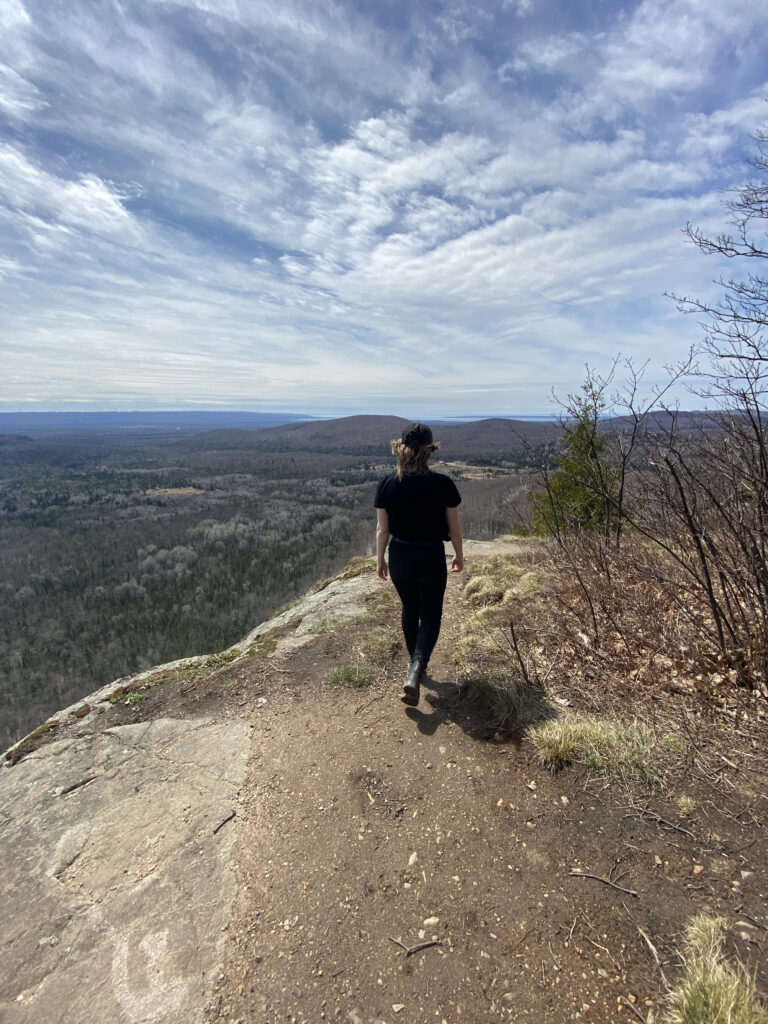
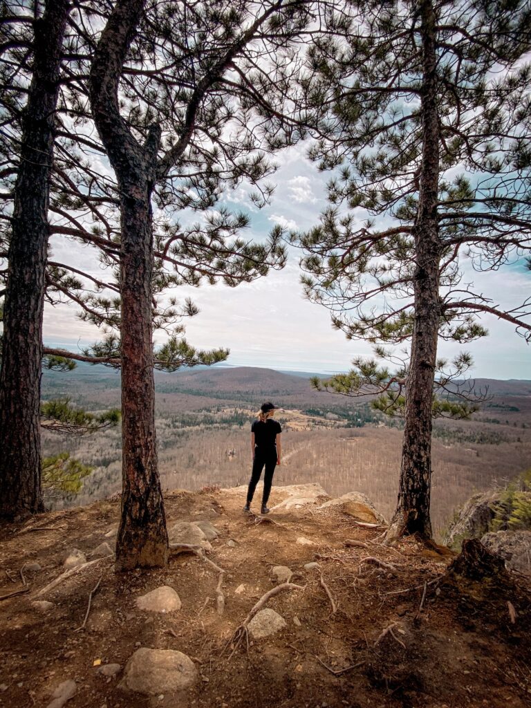
Located just 30 minutes north of Sault Ste. Marie, Robertson Cliffs is one of the top lookout hikes in Ontario. The cliffs feature several stunning viewpoints that extend for miles across Bellevue Valley, offering sweeping vistas of the Goulais River and even reaching out to Lake Superior.
There are three routes to reach the top of Robertson Cliffs. The Blue Route, a 300-meter path starting from the western parking lot, connects with the White Route – this one is steep! The White Route is a 2-kilometer trail that takes about 45 minutes and begins at one of the two eastern parking lots. It meanders through the Great Lakes-St. Lawrence forest before meeting up with the Blue Route, after which the trail becomes steeper as it ascends to the lookout points. For a longer hike, the Yellow Route offers a 2.5-kilometer trek that passes by beautiful waterfalls – this is definitely my favorite of the three!
Lion’s Head
THE DETAILS
Where | Bruce Peninsula. Find it here on google map.
Price | 20$ per person. Reserve your parking online here.
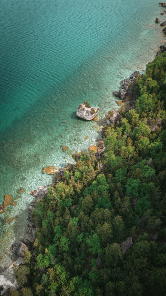
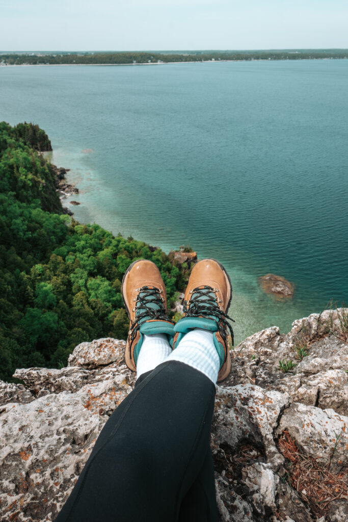
I would say that Lion’s Head Lookout in the Bruce Peninsula is in my top 3 favorite lookouts in Ontario. Looking out over the stunning 200-foot cliffs, you’ll be mesmerized by the incredible turquoise and ultramarine blue waters below.
The Lion’s Head Trail features two loops—the main trail and the inland trail—covering a total of approximately 18 kilometers. Although I highly recommend doing the longer hike, the quickest way to get to the lookout itself is through the main trail. In total that trail is 7,1km (in and out) – it takes 3,5km to get to the lookout. The trail is mainly flat – expect for the end when you get closer to the lookout – but with a lot of rocks and roots sticking out, so be careful. I also highly recommend getting there at first light because otherwise you’ll have to park in one of the further parking lots adding quite a bit of distance to your hike.
READ THESE BEFORE VISITING MORE OF THE BEST ONTARIO LOOKOUTS
ONTARIO GUIDES | The Ultimate Fall Weekend in Calabogie; Ultimate Weekend Itinerary in Beaver Valley; The Best In and Around Niagara Falls : A Complete Guide; How to spend the Perfect Weekend in Bracebridge
ONTARIO TOP 10 |
WHERE TO STAY IN ONTARIO | Tiny Stays: A Unique Stay in Prince Edward County; Spend the night with Alpacas at Haute Goat Farm
PIN THIS FOR LATER
Follow me on Instagram!
Planning a road trip through Alberta? Steal my 6-day itinerary, it’s packed with epic views, and once-in-a-lifetime stops. 🚗🏔️
I flew in and out from Calgary and explored the Rockies for a little less than a week. Here’s how it all breaks down:
📍 Day 1 – Kananaskis
Quiet hikes, glamping, and peaceful mountain vibes far from the crowds
❄️ Day 2 – Icefields Parkway + Columbia Icefield Adventure
One of the most scenic drives in Canada + a glacier walk you’ll never forget
🦌 Days 3 & 4 – Jasper National Park
Canyons, lakes, wildlife, and so many underrated gems
🏞️ Days 5 & 6 – Banff National Park
Classics for a reason!
💾 Save this post if Alberta’s on your bucket list — and head to the blog for the full itinerary, map, and all my tips!
Which stop would you be most excited to visit?
🇫🇷 La version française est dans les commentaires! ⬇️
#AlbertaRoadTrip #TravelAlberta #ExploreCanada #Kananaskis #ColumbiaIcefield #IcefieldsParkway #JasperNationalPark #BanffNationalPark #CanadaItinerary #AlbertaAdventure #RockyMountainRoadTrip

I’m manifesting that by the end of today…
the person you send this Reel to will say:
“Okay fine, let’s book it.”
Back Forty Glamping =
✨ Beautiful domes
🔥 A private hot tub with nature views
🌲 A forest sauna you will stay in too long
🌌 And the kind of stargazing that makes your phone camera give up
This place is made for weekend escapes, slow mornings, and that “can we just stay one more night?” kind of feeling.
💫 Send this to your go-to adventure buddy — and let the manifesting begin.
Who would you bring with you?
🇫🇷 La version française de ce texte se trouve dans les commentaires.
*invited stay*
#BackFortyGlamping #OntarioGetaways #GlampingCanada #UniqueStaysOntario #ManifestThatTrip #ExploreOntario #ForestGetaway #WeekendEscapeVibes

Banff gets all the attention… but if you’re craving something quieter and just as beautiful, head to Kananaskis. 🏔️✨
This lesser-known corner of the Rockies is packed with stunning trails, peaceful drives, and mountain views you don’t have to share with busloads of tourists.
Here’s how to spend 24 hours in Kananaskis:
• Stay in a cozy mountain cabin at Skyridge Glamping
• Grab coffee in Canmore
• Hike to the unreal turquoise waters of Grassi Lake
• Drive the wild and winding Smith-Dorrien Trail
• Chase waterfalls at Troll Falls
• Stop at Mt. Lorette Pond for a quiet moment by the water
💾 Save this itinerary if you’re planning an Alberta road trip and tag someone you’d love to bring along.
What would you add to a perfect day in Kananaskis? Drop your recs below ⬇️
🇫🇷 La version française de ce texte se trouve dans les commentaires.
#Kananaskis #ExploreAlberta #HiddenGemsCanada #AlbertaItinerary #CanadianRockies #GrassiLake #TrollFalls #SkyridgeGlamping #SmithDorrienTrail #NatureEscapeCanada #glacierviewsandgoodvibes

If you’re craving a summer getaway that’s equal parts charming, relaxing, and lowkey underrated… meet Southampton. 🌊☀️
Just down the road from Sauble Beach, this little Lake Huron town has everything you need for the perfect beach day : cozy stays, great brunch, boutique shopping, and yes, one of the best sunset spots in Ontario.
📍 Stay: a retro-modern motel with a sauna and serious design goals
🍳 Eat: local brunch spots that fill up for a reason
🏖️ Do: shop small and local on High Street and have the perfect beach day (swings included!)
🌅 End the day: with your toes in the sand watching that golden hour roll in
💾 Save this if you’re looking for a new summer escape in Ontario and tag someone who’s overdue for a road trip.
🇫🇷 La version française de ce texte se trouve dans les commentaires
*Invited stay*
#SouthamptonOntario #OntarioBeachTowns #ExploreOntario #LakeHuronSunset #HiddenGemsOntario #SummerInOntario #BeachWeekendVibes #OntarioGetaways #TravelOntario

Looking for wide beaches, peaceful trails, and sunsets that make you stop mid-sentence? ☀️🌊
Pinery Provincial Park has all of that, and it’s one of the most beautiful places to slow down in Southern Ontario.
Located on the shores of Lake Huron, Pinery is perfect for a day trip or a weekend escape filled with sand, sun, and forest walks.
✨ Why visit Pinery this summer:
• 10 km of sandy beaches with warm, swimmable water 🏖️
• Some of the best sunsets in Ontario (seriously) 🌅
• Easy, photogenic trails like Cedar, Nipissing & Riverside 🌲
• Paddle or spot turtles along the Old Ausable Channel 🐢
• Camp, bike, picnic, or just… do nothing (it’s that kind of place)
It’s the kind of park that makes summer feel slower and better.
💾 Save this guide for your next Ontario park day.
Have you been to Pinery? Drop your favourite trail or memory below ⬇️
🇫🇷 La version française de ce texte se trouve dans les commentaires
#PineryProvincialPark #OntarioParks #LakeHuronVibes #ExploreOntario #OntarioBeaches #SummerInOntario #HiddenGemsOntario #BeachHikeRepeat #NatureEscapeCanada

